Related Plugins and Tags

QGIS Planet

Offline Vector Tile Package .vtpk in QGIS

Starting from 3.26, QGIS now supports .vtpk (Vector Tile Package) files out of the box! From the changelog:

ESRI vector tile packages (VTPK files) can now be opened directly as vector tile layers via drag and drop, including support for style translation.

This is great news, particularly for users from Austria, since this makes it possible to use the open government basemap.at vector tiles directly, without any fuss:

1. Download the 2GB offline vector basemap from https://www.data.gv.at/katalog/de/dataset/basemap-at-verwaltungsgrundkarte-vektor-offline-osterreich


2. Add the .vtpk as a layer using the Data Source Manager or via drag-and-drop from the file explorer


3. All done and ready, including the basemap styling and labeling — which we can customize as well:

Kudos to https://wien.rocks/@DieterKomendera/111568809248327077 for bringing this new feature to my attention.

PS: And interesting tidbit from the developer of this feature, Nyall Dawson:

Introducing the open data analysis OGD.AT Lab

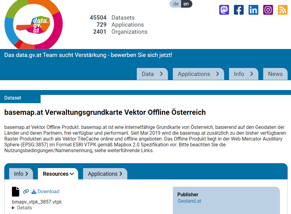
Data sourcing and preparation is one of the most time consuming tasks in many spatial analyses. Even though the Austrian data.gv.at platform already provides a central catalog, the individual datasets still vary considerably in their accessibility or readiness for use.

OGD.AT Lab is a new repository collecting Jupyter notebooks for working with Austrian Open Government Data and other auxiliary open data sources. The notebooks illustrate different use cases, including so far:

  1. Accessing geodata from the city of Vienna WFS
  2. Downloading environmental data (heat vulnerability and air quality)
  3. Geocoding addresses and getting elevation information
  4. Exploring urban movement data

Data processing and visualization are performed using Pandas, GeoPandas, and Holoviews. GeoPandas makes it straighforward to use data from WFS. Therefore, OGD.AT Lab can provide one universal gdf_from_wfs() function which takes the desired WFS layer as an argument and returns a GeoPandas.GeoDataFrame that is ready for analysis:

Many other datasets are provided as CSV files which need to be joined with spatial datasets to use them in spatial analysis. For example, the “Urban heat vulnerability index” dataset which needs to be joined to statistical areas.


Another issue with many CSV files is that they use German number formatting, where commas are used as a decimal separater instead of dots:

Besides file access, there are also open services provided by other developers, for example, Manfred Egger developed an elevation service that provides elevation information for any point in Austria. In combination with geocoding services, such as Nominatim, this makes is possible to, for example, find the elevation for any address in Austria:

Last but not least, the first version of the mobility notebook showcases open travel time data provided by Uber Movement:

The utility functions for data access included in this repository will continue to grow as new data sources are included. Eventually, it may make sense to extract the data access function into a dedicated library, similar to geofi (Finland) or geobr (Brazil).

If you’re aware of any interesting open datasets or services that should be included in OGD.AT, feel free to reach out here or on Github through the issue tracker or by providing a pull request.

Exploring CKAN data portals with QGIS

CKAN is for data portals what QGIS is for GIS. The project describes itself as

CKAN is a powerful data management system that makes data accessible – by providing tools to streamline publishing, sharing, finding and using data. CKAN is aimed at data publishers wanting to make their data open and available.

Many open (government) data platforms rely on CKAN and while the web interface is pretty good, there’s still the hassle of finding and downloading the data using a web browser.

This is where the QGIS CKAN-Browser plugin comes in useful. The plugin has been developed by BergWerkGIS for the state of Carinthia, Austria and added to the public plugin repo earlier this year. CKAN-Browser comes preconfigured with some Austrian and European CKAN URLs for testing, so you can get going really quickly. It is easy to search for specific datasets or explore the portal’s data categories and it is just one click to download and load the data into your QGIS map:

Screenshot 2016-06-26 22.25.00

Here’s a quick demo of loading a vector dataset as well as raster tiles:

For the full usage guide, visit the plugin’s Github page.

It’s great to see how well CKAN and QGIS can play together to enable seamless access to open data!


5 meter elevation model of Vienna published

A while ago I wrote about the 5 meter elevation model of the city of Vienna. In the meantime the 5 meter model has been replaced by a 10 meter version.

For future reference, I’ve therefore published the 5 meter version on opendataportal.at.

details from the Viennese elevation model

details of the Viennese elevation model

I’ve been using the dataset to compare it to EU-DEM and NASA SRTM for energy estimation:
A. Graser, J. Asamer, M. Dragaschnig: “How to Reduce Range Anxiety? The Impact of Digital Elevation Model Quality on Energy Estimates for Electric Vehicles” (2014).

I hope someone else will find it useful as well because assembling the whole elevation model was quite a challenge.

mosaicking the rasterized WFS responses

mosaicking the rasterized WFS responses


Finding Open Data – DataCatalogs.org

DataCatalogs.org aims to be the most comprehensive list of open data catalogs in the world. [...] The alpha version of DataCatalogs.org was launched at OKCon 2011 in Berlin.

As of today, 134 data catalogs have been registered. From Dalian, China to Rhode Island, data from all over the world is ready to be discovered.

Open data and open GIS – 2011 is an exciting year!


Open Government Data Wien in QGIS

Vienna’s Open Government Data initiative is publishing an increasing amount of Geodata and the best thing is: They’re publishing it via open standardized services! Both WMS and WFS are available and ready to be used in QGIS.

Let’s see how we can use the data available through their WFS using the district information layer “Bezirksgrenzen” as an example. The page lists a GML and a GeoJSON version of WFS. For now, we’ll use GeoJSON.

In QGIS, the layer can be loaded using “Add vector layer” – “Protocol” and inserting the GeoJSON url there. The encoding should be changed to ISO8859-15 to account for “Umlaute”.

The loaded GeoJSON layer "Bezirksgrenzen"

Now, we have geodata. Let’s add some attribute data too! Attribute data is available in CSV format. After downloading e.g. some information on the district population, check the file content and remove excessive header lines so that there is only one header line containing attribute names left. Then, you can load the CSV file into QGIS too (“Add vector layer”).

Last step: Joining geodata and attribute data! Go to the vector layer’s properties – Join tab and add the following join relation:

Joining GeoJSON and attribute layer

Now, the attribute table of the vector layer contains the additional CSV attributes – ready for further analysis. If you want to classify based on numerical CSV attributes, you’ll have to create a .csvt file first otherwise all fields are interpreted as texts.

Works great. Thumbs up for this great initiative!


WMS & WFS for Vienna Open Data

The city of Vienna has started their open data initiative. They’re offering data on a variety of topics, including: infrastructure, population, education, environment and traffic.

For use in GIS, they serve the data through WMS and WFS:

Both WMS and WFS work well with the developer version of QGIS.

Looking forward to new datasets. Announcements should be published via RSS feed.


  • Page 1 of 1 ( 7 posts )
  • open data

Back to Top

Sustaining Members