
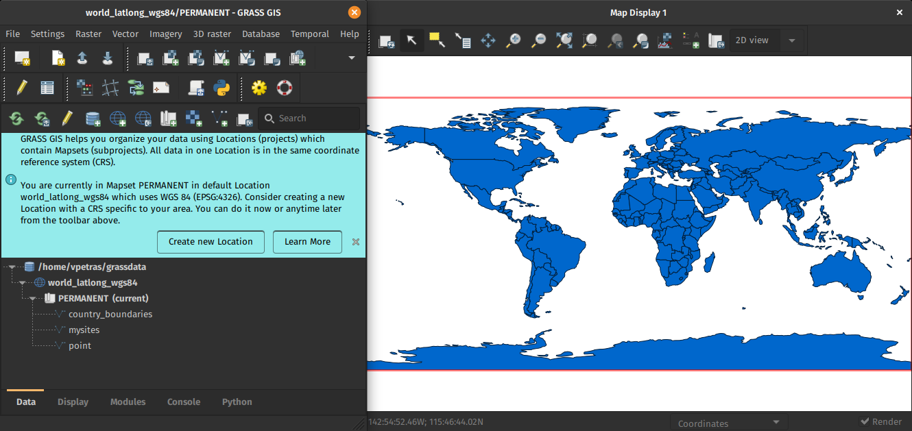
How to contribute to GRASS GIS development
How to contribute to GRASS GIS development: Guidance for new developers in the GRASS GIS Project.
The post How to contribute to GRASS GIS development appeared first on Markus Neteler Consulting.
Last update:
Sun Dec 22 15:00:28 2024
 •
•
 •
•

 •
•
 •
•

How to contribute to GRASS GIS development: Guidance for new developers in the GRASS GIS Project.
The post How to contribute to GRASS GIS development appeared first on Markus Neteler Consulting.
The post Migration of grass-dev mailing list to OSGeo Discourse appeared first on Markus Neteler Consulting.
The post GRASS GIS PSC Elections 2024: nomination period ongoing appeared first on Markus Neteler Consulting.
The GRASS GIS 8.4.0RC1 release provides more than 515 improvements and fixes with respect to the release 8.3.2. Please support us in testing this release candidate.
The post GRASS GIS 8.4.0RC1 released appeared first on Markus Neteler Consulting.
Today, we celebrate a true geospatial legend: GRASS GIS!
The post Happy 41st birthday, GRASS GIS! appeared first on Markus Neteler Consulting.
The GRASS GIS 8.4.0 release provides more than 520 improvements and fixes with respect to the release 8.3.2.
The post GRASS GIS 8.4.0 released appeared first on Markus Neteler Consulting.
The Open Source Geospatial Foundation (OSGeo) today celebrates its 18th anniversary, underscoring its pivotal role in the development of open source geospatial software and its impact on the world. Founded in 2006, OSGeo’s mission is to support and promote the collaborative development of open geospatial technologies and data. Over the years, it has become a cornerstone of the open geospatial community, fostering innovation, education and adoption of open source geospatial software worldwide.
The post Celebrating 18 Years of the Open Source Geospatial Foundation (OSGeo) appeared first on Markus Neteler Consulting.
This blog post gives an overview of how to easily perform a geodata analysis of an online available dataset (here: a GeoTIFF file) with actinia and display the result in Leafmap browser-based.
The post Using leafmap with actinia in a Jupyter notebook appeared first on Markus Neteler Consulting.
The GRASS GIS 8.3.2 maintenance release contains more than 30 changes compared to 8.3.1. This new patch release includes important fixes and improvements to the GRASS GIS modules and the graphical user interface (GUI), making it even more stable for daily work.
The post GRASS GIS 8.3.2 released appeared first on Markus Neteler Consulting.
The GRASS GIS Annual Report for 2023 highlights a year of significant achievements and developments in the GRASS GIS project, which celebrated its 40th anniversary. Here’s a summary of the report: Community Meeting: The GRASS GIS Community Meeting was held in June at the Czech Technical University in Prague, bringing together a diverse group of […]
The post GRASS GIS Annual Report 2023 appeared first on Markus Neteler Consulting.
Open source software projects thrive on the contributions of the community, not only for the code, but also for making the software accessible to a global audience. One of the critical aspects of this accessibility is the localization or translation of the software’s messages and interfaces. In this context, Weblate (https://weblate.org/) has proven to be […]
The post Translating Open Source Software with Weblate: A GRASS GIS Case Study appeared first on Markus Neteler Consulting.
What’s new in a nutshell The GRASS GIS 8.3.1 maintenance release provides more than 60 changes compared to 8.3.0. This new patch release brings in important fixes and improvements in GRASS GIS modules and the graphical user interface (GUI) which stabilizes the new single window layout active by default. Some of the most relevant changes […]
The post GRASS GIS 8.3.1 released appeared first on Markus Neteler Consulting.
What’s new in a nutshell The GRASS GIS 8.3.0 release provides more than 360 changes compared to the 8.2 branch. This new minor release brings in many fixes and improvements in GRASS GIS modules and the graphical user interface (GUI) which now has the single window layout by default. Some of the most relevant changes […]
The post GRASS GIS 8.3.0 released appeared first on Markus Neteler Consulting.
The 8.2.0 release of GRASS GIS is now available with results from the GSoC 2021 and many other additions. A new grass.jupyter package is now included for interacting with Jupyter notebooks. Single window graphical user interface is available in GUI settings. r.series and three other modules are newly parallelized. Additionally, the release includes a series […]
The post GRASS GIS 8.2.0 released appeared first on Markus Neteler Consulting.
This is an update release of the GRASS GIS 8.0 series. Download source code tarball at https://grass.osgeo.org/grass80/source/grass-8.0.1.tar.gz https://grass.osgeo.org/grass80/source/grass-8.0.1.md5sum For further release details (bug fixes and enhancements), see https://trac.osgeo.org/grass/wiki/Grass8/NewFeatures80 The GRASS GIS 8.0.1 release provides more than 20 fixes and improvements with respect to the release 8.0.0. What’s Changed Important fixes utils/mkhtml: fix print warning/fatal message […]
The post GRASS GIS 8.0.1 released appeared first on Markus Neteler Consulting.
Overview of changes After more than 3 year of development the first stable release GRASS GIS 8.0.0 is available. Efforts have concentrated on making the user experience even better, providing many new useful additional functionalities to modules and further improving the graphical user interface. Breaking news: new graphical user interface with entirely rewritten startup sequence! […]
The post GRASS GIS 8.0.0 released! Finally… appeared first on Markus Neteler Consulting.
After more than 3 year of development the first stable release GRASS GIS 8.0.0 is available. Efforts have concentrated on making the user experience even better, providing many new useful additional functionalities to modules and further improving the graphical user interface.
Breaking news: new graphical user interface with entirely rewritten startup sequence!
This re-establishes user experience compatibility with QGIS and other connected software packages.
The GRASS GIS 8.0.0 release provides more than 1,300 fixes and improvements with respect to the release 7.8.6.
With the introduction of the semantic label raster metadata class, the temporal database was modified to version 3. Hence, to be able to read and process GRASS 7.x space-time datasets, users will be prompted to run t.upgrade. If users want to read newly created space-time datasets back in GRASS 7.x, they can run t.downgrade.
Launching the software
The user experience of the graphical user interface has been completely rewritten: no more clumsy selection screens – just enter the menu system directly!
And on command line, GRASS GIS now starts versionless, i.e. as grass.
See https://github.com/OSGeo/grass/releases/tag/8.0.0RC2
Thanks to all contributors!
The post GRASS GIS 8.0.0RC2 released appeared first on Markus Neteler Consulting.
What’s new in a nutshell 
As a follow-up to the previous GRASS GIS 7.8.4 we have published the new release GRASS GIS 7.8.5 with more than 80 improvements. This minor release offers new wxGUI fixes across the tree. Also the addon extension manager received various stability fixes. VRT raster map with tiled raster maps can now be properly exported and imported in the native GRASS GIS raster format.
The overview of new features in the 7.8 release series is available at new features in GRASS GIS 7.8. See also our detailed announcement with the full list of changes and bugs fixed at https://trac.osgeo.org/grass/wiki/Release/7.8.5-News.
Binaries/Installer download:
Source code download:
First time users may explore the first steps tutorial after installation.
About GRASS GIS
The Geographic Resources Analysis Support System (https://grass.osgeo.org/), commonly referred to as GRASS GIS, is an Open Source Geographic Information System providing powerful raster, vector and geospatial processing capabilities. It can be used either as a stand-alone application or as backend for other software packages such as QGIS and R geostatistics or in the cloud. It is distributed freely under the terms of the GNU General Public License (GPL). GRASS GIS is a founding member of the Open Source Geospatial Foundation (OSGeo).
The GRASS Development Team, Dec 2020
The post GRASS GIS 7.8.5 released appeared first on Markus Neteler Consulting.
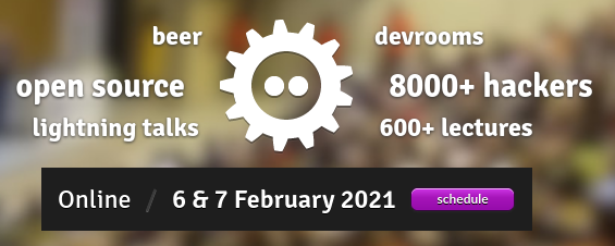 Call for Participation for FOSDEM 2021 geospatial devroom
Submission Deadline: 26.12.2020
FOSDEM is the largest free and open source developers meeting in Europe, with 8000+ participants. It normally takes place in Brussels (Belgium).
FOSDEM 2021 will be an online event. We will have a geospatial devroom again. The geospatial devroom will be on Saturday, 6 February 2021. In 2021 it will be our opportunity to bring our global community to FOSDEM.
The geospatial devroom is the place to talk about the state of the art of open, geo-related data, free and open source geospatial software and its ecosystem. This includes standards and tools, e.g. spatial databases, online mapping tools, geospatial services, used for collecting, storing, delivering, analysing, and visualizing geodata.
We are looking for you to be part of the geospatial devroom. The geospatial devroom aims to host talks about geospatial topics, GIS, and geodata projects, standards and open data.
Please submit your talk till 26. December 2020.
You find detailed information about the CfP at:
https://www.osgeo.org/foundation-news/osgeo-at-fosdem-2021-online-call-for-participation/
We hope you will submit a talk or come around at FOSDEM 2021.
See you at FOSDEM 2021
The post OSGeo at FOSDEM 2021 (Online) – Call for Participation for the geospatial devroom appeared first on Markus Neteler Consulting.

In episode 86 of MapScaping podcast, Markus Neteler talks about the functionality offered (the topological vector engine, 2D and 3D raster analysis, image processing and available programming interfaces), and whom GRASS GIS is for.
Markus is the cofounder of mundialis, a Bonn based business. He is also the Chairman of the GRASS GIS Project Steering Committee.
Enjoy the podcast and the transcript!
The post MapScaping podcast: GRASS GIS probably doesn’t get the attention it deserves appeared first on Markus Neteler | Geospatial Analysis | Remote sensing | GRASS GIS.
