All Plugins
List of all approved plugins.
4404 records found

Quickly assign 1/0 to selected polygon features and navigate with shortcuts.
2026-08-14T03:42:31.623600+00:00

Plugin to extend the Asistente LADM-COL plugin with tools for the environmental sector in Colombia
2021-11-04T20:40:25.302612+00:00

This plugin is for opening and processing results from LaharFlow
2023-08-07T15:29:40.831885+00:00
Downloads Sentinel-2 Land Cover Data from Esri's Living Atlas
2026-07-03T16:06:33.487212+00:00

Assigns each polygon the dominant and subdominant land cover class from an underlying raster with proportional coverage percentages. Includes a …
2026-04-01T08:13:43.185446+00:00


Earth Surface Dynamics modeling algorithms
2025-08-01T19:45:08.073029+00:00
The plugin analyzes and assesses land productivity
2020-07-18T07:23:25.638392+00:00

Bulk download of Landsat 4-9 Collection 2 Level-2 imagery (global archive since 1982, no account needed) for an AOI from …
2026-08-24T14:43:14.396712+00:00

Professional Land Surface Temperature retrieval from Landsat 5, 7, 8 and 9 imagery with drag-and-drop, MTL auto-calibration and deterministic results.
2026-05-27T08:00:52.656539+00:00

Landsat 8/9 Collection 2 processing: Brightness Temperature (BT), Land Surface Temperature (LST), and Urban Heat Island (UHI) analysis. Includes UTFVI, …
2026-05-22T14:44:10.088646+00:00

Build Water/Land mask shapefiles from Landsat 4/5/7/8/9 (Reflectance & QA_PIXEL); Sentinel-2 (FMASK); and OPERA (BWTR) layers. Water 'Occurrence Over Time' …
2026-02-03T14:03:44.372786+00:00
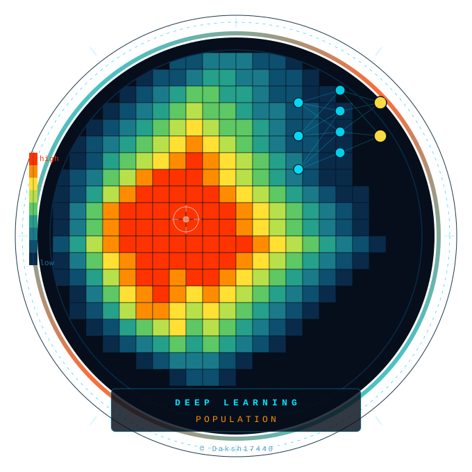
The plugin offers diverse options of loss function and deep learning models to be applied on LandScan population rasters of …
2026-05-31T21:37:24.848630+00:00


Analisis otomatis tanah longsor dan likuifaksi, disertai analisis erosi menggunakan metode USLE dan SMCE, serta penilaian dampak kepadatan populasi dan …
2026-10-06T04:22:46.742909+00:00

Suite of 16 Processing algorithms for complete Land Surface Temperature retrieval from Landsat 5/7/8 and ASTER thermal imagery
2026-06-18T19:52:15.326211+00:00
This plugin allows you to easily import data from a land survey (GPS or total station) to draw automatically in …
2022-07-19T08:48:25.593073+00:00

"LandTalk.AI - Your Landscape Talks With You using AI: Analyze map areas using Google Gemini, ChatGPT, or Claude multimodal AI.
2026-10-20T14:07:16.889518+00:00
Analyzes land use patterns within user-drawn polygons using OpenStreetMap data
2026-03-30T21:08:16.992911+00:00

A plugin for Land Use spatial analysis tools
2023-08-27T15:01:50.322479+00:00
| Name | Author | Latest Version | Created On | ||||
|---|---|---|---|---|---|---|---|

|
Label Switcher | 228 | ytkz11 | 2026-08-14T03:42:31.623600+00:00 | 2026-08-14T03:00:51.059375+00:00 | 1.2.1 | — |

|
LADM-COL add-on Ambiente | 2,091 | SwissTierras Colombia | 2021-11-04T20:40:25.302612+00:00 | 2021-10-29T22:22:09.790185+00:00 | — | 0.2 |

|
Lahar Flow Map Tools | 2,733 | Mark Woodhouse | 2023-08-07T15:29:40.831885+00:00 | 2023-06-20T20:22:59.457788+00:00 | — | 0.1.5 |

|
Land Cover Downloader | 3,802 | CustomCartographix | 2026-07-03T16:06:33.487212+00:00 | 2026-01-19T17:21:29.502719+00:00 | 1.0.2 | — |

|
Landcover Encoding Plugin | 565 | Santhosh M | 2026-04-01T08:13:43.185446+00:00 | 2026-04-01T08:13:41.406950+00:00 | 1.0.0 | — |

|
LANDFILL SITE SELECTION | 1,217 | Emre Yılmaz | 2023-10-09T06:55:03.415442+00:00 | 2023-10-09T06:55:03.307130+00:00 | — | 0.1 |

|
Landlab Algorithm Provider | 832 | Lucas Amion | 2025-08-01T19:45:08.073029+00:00 | 2025-07-29T17:12:54.981472+00:00 | — | 0.2 |
|
|
Land Productivity Analysis Tool (LPAT) | 8,128 | RCMRD | 2020-07-18T07:23:25.638392+00:00 | 2020-07-14T06:17:33.617083+00:00 | 0.11 | — |

|
Landsat Download | 1,208 | Grzegorz Górniak | 2026-08-24T14:43:14.396712+00:00 | 2026-08-17T03:17:08.005809+00:00 | 1.0.0 | — |

|
Landsat LST Calculator | 1,576 | Cyanide | 2026-05-27T08:00:52.656539+00:00 | 2026-05-16T18:08:23.154422+00:00 | 10.0.1 | — |

|
Landsat Thermal & UHI Processor | 867 | Segikil | 2026-05-22T14:44:10.088646+00:00 | 2026-05-22T14:44:08.263162+00:00 | 2.2.0 | — |

|
Landsat Water Mask | 2,013 | Jake Longenecker | 2026-02-03T14:03:44.372786+00:00 | 2025-12-21T19:50:54.688087+00:00 | 1.4.3 | — |
|
LandScan Population Modelling | 298 | Daksh17440 | 2026-05-31T21:37:24.848630+00:00 | 2026-05-20T20:40:33.491196+00:00 | 1.0 | — |

|
Landsklim | 4,621 | Laboratoire ThéMA | 2026-04-29T16:23:56.402783+00:00 | 2025-01-16T10:05:18.067684+00:00 | 1.0.0 | — |

|
Landslide & Erosion (PETA ALAM) | 313 | Fajar Rahmawan | 2026-10-06T04:22:46.742909+00:00 | 2026-08-28T01:33:28.380111+00:00 | 1.1.5 | — |

|
Land Surface Temperature | 20,187 | Milton Isaya | 2026-06-18T19:52:15.326211+00:00 | 2016-05-23T17:41:35.116010+00:00 | 1.0 | 0.6 |

|
Land Survey Codes Import | 27,070 | Loïc Bartoletti (Oslandia) | 2022-07-19T08:48:25.593073+00:00 | 2018-09-12T06:47:31.313772+00:00 | v0.3.0 | 0.3.0-beta7 |

|
LandTalk.AI | 5,804 | Juergen Landauer | 2026-10-20T14:07:16.889518+00:00 | 2025-09-21T06:34:04.030659+00:00 | 1.5.0 | — |
|
|
Landuse Analyzer | 761 | Justin | 2026-03-30T21:08:16.992911+00:00 | 2026-03-30T21:08:15.220960+00:00 | 0.1 | — |

|
Land Use Analyzer | 2,450 | Alexandros Voukenas | 2023-08-27T15:01:50.322479+00:00 | 2023-08-27T15:01:48.516052+00:00 | — | 0.1 |