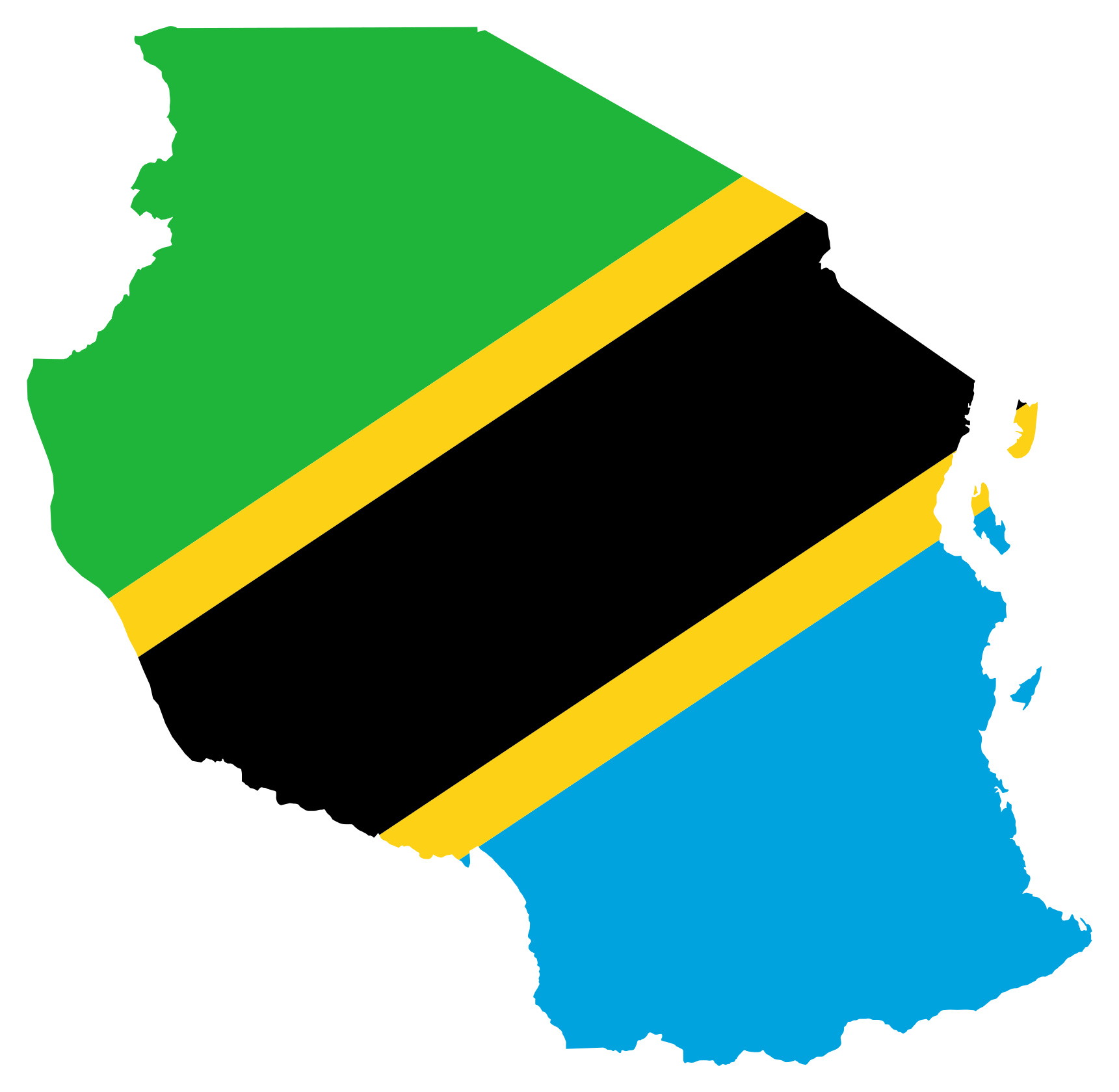
Tanzania Boundary Search
Plugin ID: 6323
Search and load Tanzania administrative boundaries from the QGIS Coordinate field.
Adds offline autocomplete for 3,881 Tanzania country, region, district and ward boundaries to QGIS's existing Coordinate field while preserving normal coordinate entry.