Plugins tagged with: tanzania
2 records found

The plugin works with geotagged image/picture by showing and plotting its location on map, also it assists to add or …
2026-08-30T18:21:34.651929+00:00
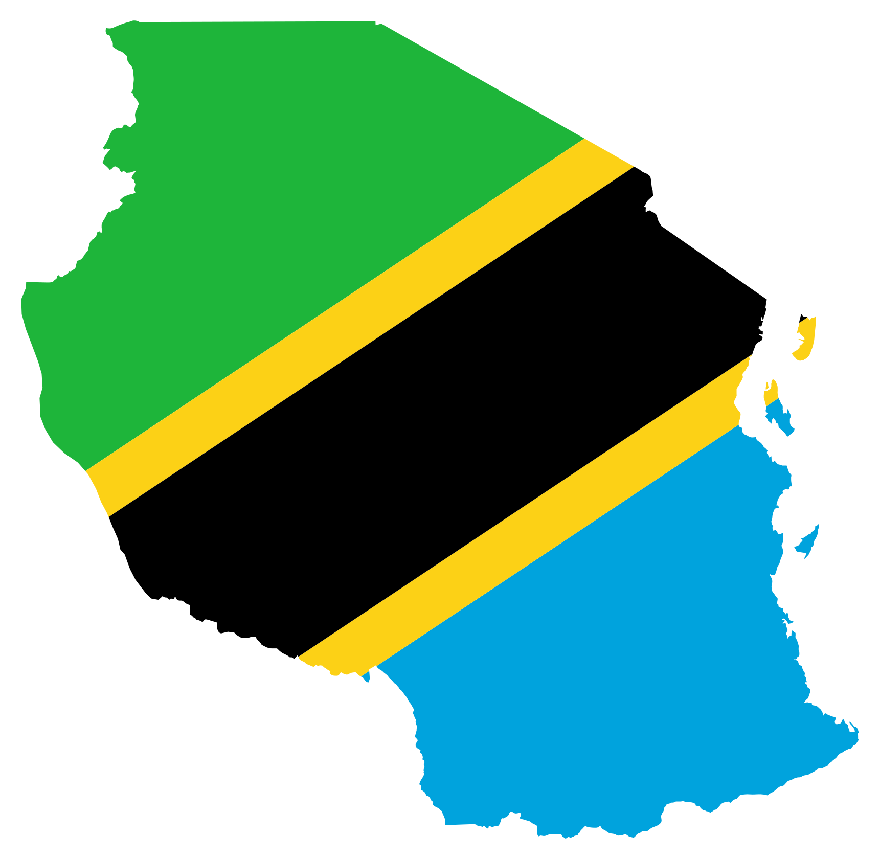
Search and load Tanzania administrative boundaries from the QGIS Coordinate field.
2026-09-16T08:26:14.777514+00:00
| Name | Author | Latest Version | Created On | ||||
|---|---|---|---|---|---|---|---|

|
FooPicha | 2,257 | Cuthbert-Langen R.M.M.M. Mushi | 2026-08-30T18:21:34.651929+00:00 | 2025-06-20T20:19:55.766827+00:00 | 2.0 | 0.5 |
|
Tanzania Boundary Search | 170 | Hemed Lungo | 2026-09-16T08:26:14.777514+00:00 | 2026-09-16T08:26:12.866681+00:00 | 0.0.1 | — |