
DeCreML
Plugin ID: 4355
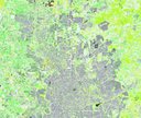
DeCreML es un complemento avanzado para QGIS que implementa un flujo completo de clasificación supervisada de imágenes multiespectrales mediante Machine Learning (Random Forest) utilizando el framework Orfeo ToolBox (OTB). El complemento permite analizar crecimiento urbano, uso de suelo y cambios espaciales a partir de imágenes satelitales como Sentinel-2, ortofotos o cualquier ráster multiespectral.
(4) votes
Download latest


