QGIS Model
All Models
22 records found.
| Name | Description | Creator | Upload Date | Modified Date | |||
|---|---|---|---|---|---|---|---|
|
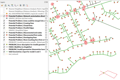
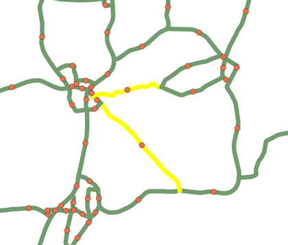
Fix Directional Network | Is your directional linear network driving you … | 322 | Cadieux | 10 March 2023 | 30 May 2024 | |
|
|
Antipode from click | Calculates the antipode, opposite point on earth, … | 222 | V | 11 January 2023 | 29 May 2024 | |
|
|
Index Grid Creator | Use the tool to quickly create a … | 484 | Klas Karlsson | 30 September 2022 | 27 May 2024 | |
|
|
ROI-zeromean | Compute zero-mean values for polygon regions of … | 331 | Weis | 30 May 2022 | 29 May 2024 | |
|
Quick Parcel Digitizer | The purpose of the model is to … | 1626 | Anaba | 14 April 2022 | 28 May 2024 | |
|
Order 1 transformer by GCPs | Performs the order 1 polynomial transformation using … | 370 | Gabriel | 24 March 2022 | 28 May 2024 | |
|
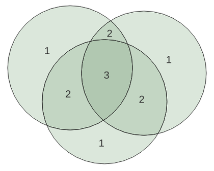
Borders | Given a set of adjacent polygons, this … | 459 | Jenkins | 19 March 2022 | 29 May 2024 | |
|
Count Polygon Overlap | Given a set of overlapping polygons (like … | 1651 | Jenkins | 19 March 2022 | 29 May 2024 | |
|
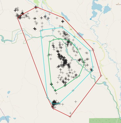
Home Range Analysis By Minimun Convex Polygon | The model was created with the Graphical … | 666 | Frate | 13 February 2022 | 29 May 2024 | |
|
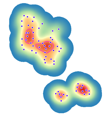
Home Range Analysis By Kernel Density Estimation | The model created with the Graphical Model … | 1146 | Frate | 13 February 2022 | 28 May 2024 | |
|
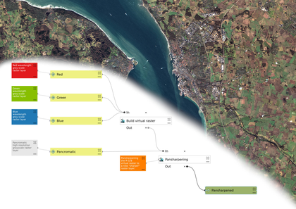
Simple Pansharpen Tool | This model takes all the steps required … | 830 | Klas Karlsson | 13 February 2022 | 28 May 2024 | |
|
Center (centroid) of a line string | This algorithm calculates the center (centroid) of … | 517 | V | 30 July 2021 | 27 May 2024 | |
|
Topographic Wetness Index | Calculates the Topographic Wetness Index (TWI) from … | 1215 | Hans Kwast | 24 July 2021 | 29 May 2024 | |
|
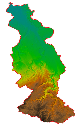
Catchment Delineation | Delineates the catchment for specified coordinates of … | 839 | Hans Kwast | 24 July 2021 | 29 May 2024 | |
|
Centroid for largest part of multipart polygon | This algorithm calculates the centroid for the … | 511 | V | 23 July 2021 | 28 May 2024 | |
|
Split polygon in parts based on categorized points | This algorithm splits a polygon based on … | 599 | V | 22 July 2021 | 29 May 2024 | |
|
Non-overlapping buffer from points | The algorithm creates non-overlapping buffer from points … | 574 | V | 21 July 2021 | 28 May 2024 | |
|
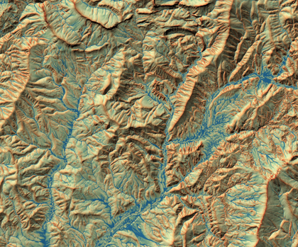
Stream delineation | Creates a filled DEM from DEM tiles, … | 736 | Hans Kwast | 20 July 2021 | 27 May 2024 | |

|
MGRS Corner label points for MGRS polygons | This model converts MGRS polygons created with … | 720 | Klas Karlsson | 31 December 2020 | 27 May 2024 | |
|
MGRS 1km Grid lines for selected GZD polygons | REQUIRES "Lat Lon Tools" plugin. GZD polygons … | 982 | Klas Karlsson | 31 December 2020 | 27 May 2024 |
Sustaining Members
