22 records found.
Modified Date: 30 May 2024
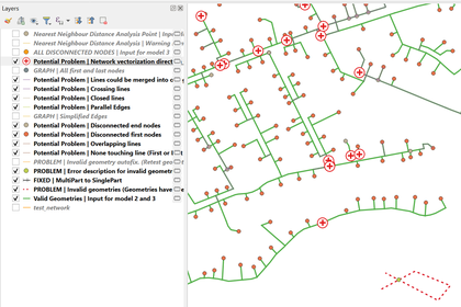
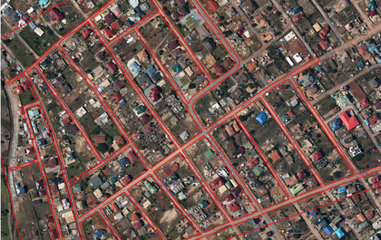
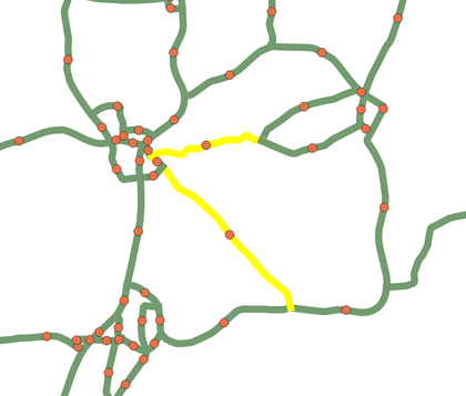
Is your directional linear network driving you crazy? These 3 interdependent models will help you …
Modified Date: 29 May 2024
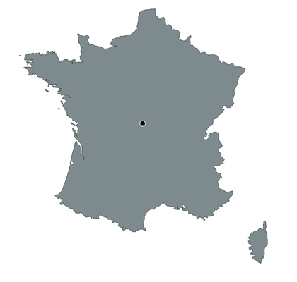
Calculates the antipode, opposite point on earth, for any location selected by click
Modified Date: 27 May 2024
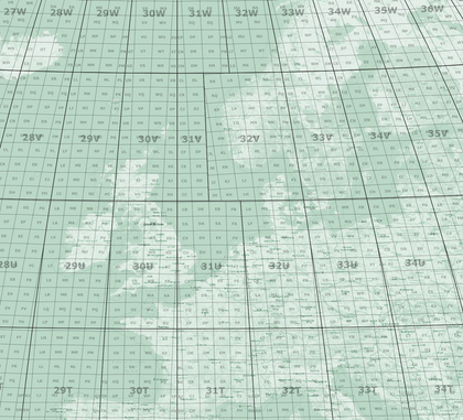
Use the tool to quickly create a map index you can overlay any map to …
Compute zero-mean values for polygon regions of interest (ROI) and count pixels below a threshold …
Modified Date: 28 May 2024
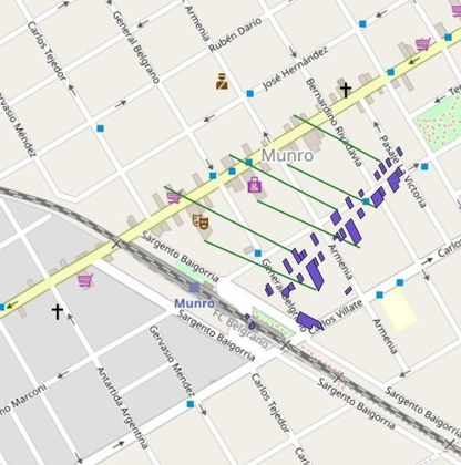
The purpose of the model is to assist physical and spatial planners to develop spatial …
Performs the order 1 polynomial transformation using start and end points of line geometries stored …
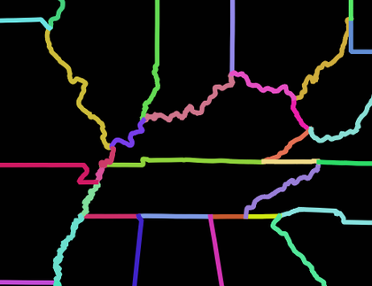
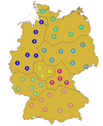
Given a set of adjacent polygons, this model outputs an "internal borders" layer containing lines …
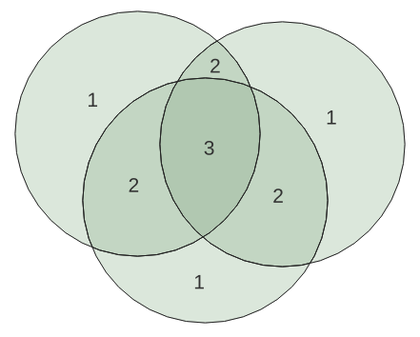
Given a set of overlapping polygons (like species ranges), this model outputs a layer of …
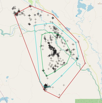
The model was created with the Graphical Model Builder in QGIS 3.16/3.22 and it allows …
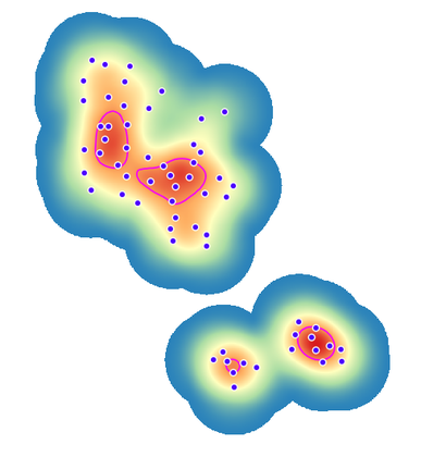
The model created with the Graphical Model Builder in QGIS 3.16 allows to calculate the …
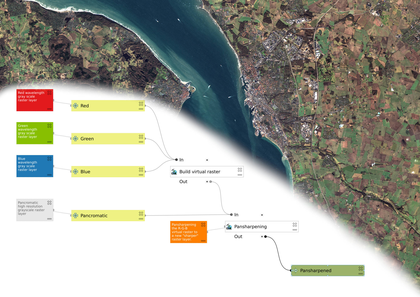
This model takes all the steps required to create a sharp RGB image from multi …
This algorithm calculates the center (centroid) of every part of a line string and places …
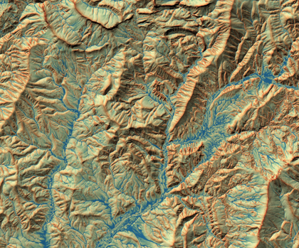
Calculates the Topographic Wetness Index (TWI) from a Digital Elevation Model
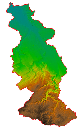
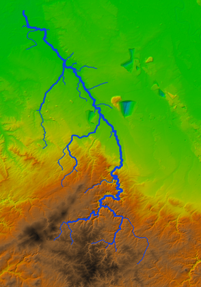
Delineates the catchment for specified coordinates of an outlet and clips the DEM to the …
This algorithm calculates the centroid for the largest part of a multipart polygon.
This algorithm splits a polygon based on categorized points in smaller polygons.
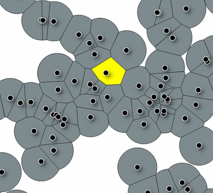
The algorithm creates non-overlapping buffer from points using voronoi and intersection operations.
Creates a filled DEM from DEM tiles, clipped and reprojected to the bounding box polygon. …
This model converts MGRS polygons created with the MGRS 100km model, to points that can …
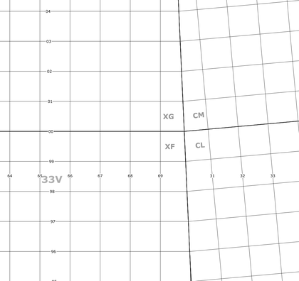
REQUIRES "Lat Lon Tools" plugin. GZD polygons can be generated with the MGRS GZD model. …
REQUIRES "Lat Lon Tools" plugin. Required GZD polygons can be generated with the MGRS GZD …
REQUIRES "Lat Lon Tools" plugin. The model will generate a polygonlayer with all Grid Zone …