QGIS Style
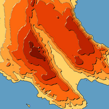
Tanaka Contours
- Name
- Tanaka Contours
- Description
Illuminated contours, a.k.a. Tanaka contours, are used for relief visualisation. The shading and thickness of the contours varies according to the specified illumination angle.
IMPORTANT: contours should be generated with GDAL (because it ensures proper line orientation).
For more detail please check https://landscapearchaeology.org/2018/tanaka-contour-lines/
- Uploaded Date
- 16 December 2020
- Approved Date
- 17 December 2020
- Creator
- ČUčKović
- Type
- Line
- Style File

This Style is made available under the CC-0 license.
Sustaining Members
