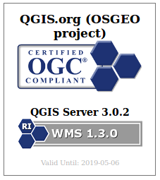
We are very excited to announce that QGIS Server has been successfully certified as a compliant WMS 1.3 server against the OGC certification platform, and moreover, it is even considered as a reference implementation now!
This is the first step on our roadmap of having a fast, compliant and bullet proof web map server that is straightforward to publish from a classical QGIS project.
What does it mean?
Having a certified server means that QGIS Server successfully passes the automated and semi automated tests that ensure we are 100% compliant with the standards. That means you can trust QGIS to be used by any WMS client seamlessly.
Moreover, that certification is now powered by a continuous integration system that checks every night in developement versions if we still pass the tests.
Daily compliance reports are available on the new test.qgis.org website.
What’s next?
Building the automated testing platform and getting officially certified was only the first step. We now are starting to certify the WFS services, thanks to the latest grant application program support.
We also want QGIS server development to be performance-driven. The following projects are particularly relevant:
- MS-Perf produces benchmark reports with MapServer and GeoServer.
- graffiti and PerfSuite tools have been designed to create a really light tool, easy to enrich with new datasets and performance tests, and easy to integrate in continuous integration systems. It compares QGIS-ltr, QGIS-rel and QGIS-dev nightlies for the same scenarios in details and produces html reports. It can also graph performance history for the development version to track regressions or improvements.
Many thanks to the supporters and voting members that helped bootstrap all those testing platforms and offer them to the community.
If you want to support or give a hand on the QGIS desktop client side, we think that area would deserve some love too!


