QGIS Model
Quick Parcel Digitizer

- Name
- Quick Parcel Digitizer
- Description
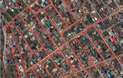
The purpose of the model is to assist physical and spatial planners to develop spatial digitized frameworks for the design and development of parcel maps for cities/ settlements. The model incorporates relevant geoprocessing tools in analyzing input data to create parcel blocks and road reservations which act as a framework for the internal design and definition of land uses and boundaries.
- Uploaded Date
- 14 April 2022
- Approved Date
- 27 March 2024
- Modified Date
- 28 May 2024
- Creator
- Anaba
- Model File

This Model is made available under the CC-0 license.
